 geocatalogue.geoportail.lu
Administration de la nature et des forêts
Type of resources
Available actions
Topics
Keywords
Contact for the resource
Provided by
Groups
Years
Formats
Representation types
Update frequencies
status
Scale
-
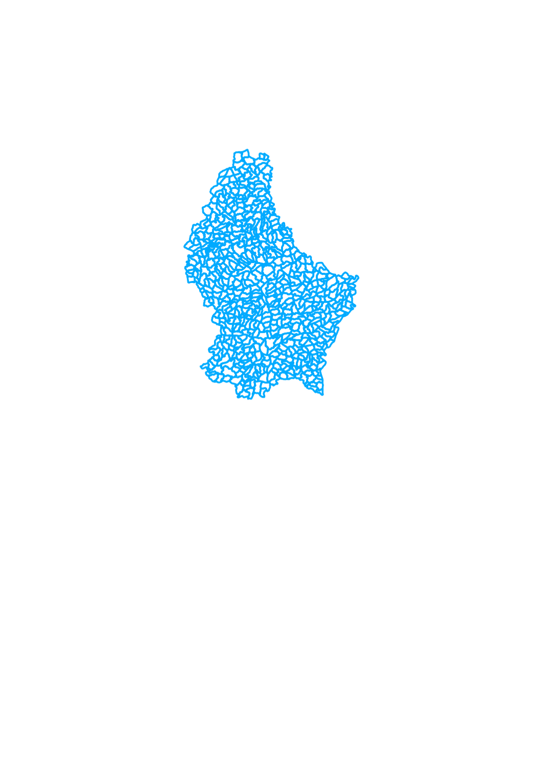
This layer include the administrative limits of the hunting grounds as deduced from the texts of the lease agreements
-
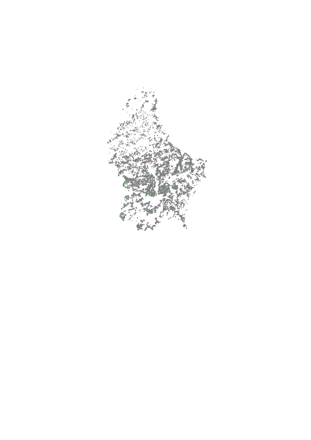
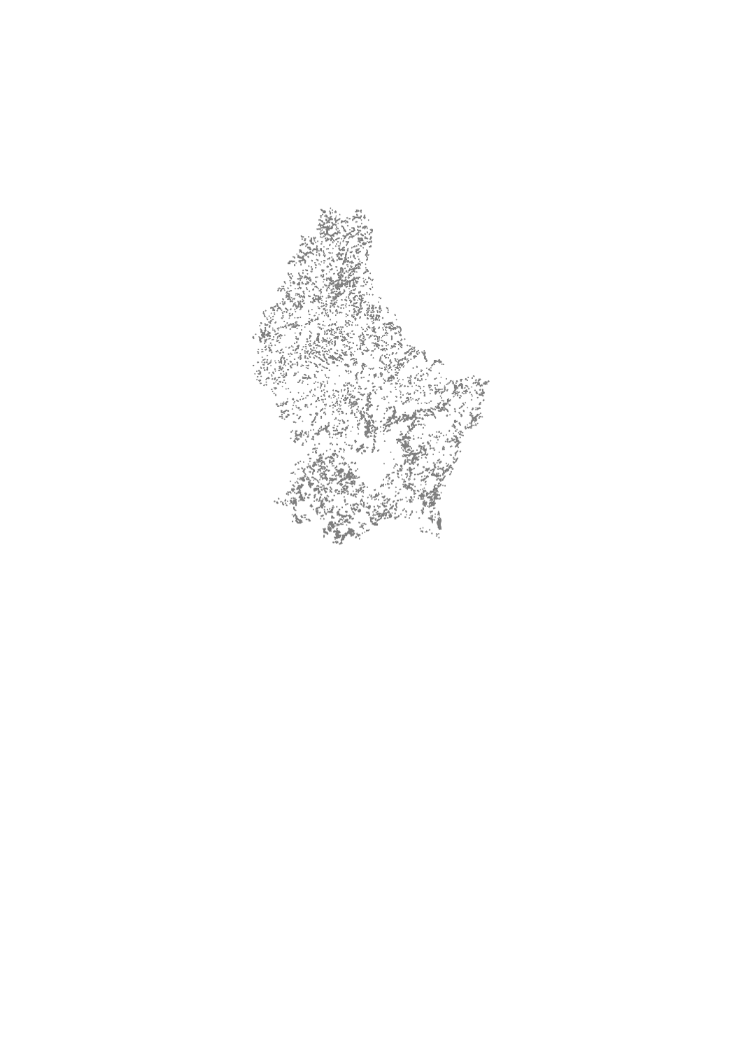
The map of the protected natural forests in the Grand-Duchy of Luxembourg is the result of a cartography of private and public forests in the framework of which data on forest formations protected under article 17 of the amended law of the 19th January 2004 concerning the protection of nature and natural resources (Nature Protection Law) were collected. The cartography was compiled in 2014 and is based on phytosociological field inventories of all the forest formations in the Grand-Duchy, realised during the years 1992-2002. None of the data collected and mapped between 1992 and 2002 have been updated by further inventories or by verification in the field. The “2014” map of protected natural forests thus reflects the situation as recorded during the years 1992-2002. Due to natural developments and changes induced through forest management since the original inventories (around 20 years ago), the actual situation encountered in the field today can differ from that shown in the “2014” map. The map can therefore only serve as a support tool for forest owners in the framework of article 17 conform forest management of natural forests protected by Nature Protection Law. In any case, the information it contains must be confirmed and, if necessary, updated in the field. Some protected forest formations have not been mapped in the original cartography and are therefore not represented in the simplified map: i.e. forest borders, copses and conversion or transformation states of coppice to high forest. Neither are small-area biotopes such as sources, natural ponds, rock formations, and so on represented on the map. They are nevertheless subject to protection under article 17 of the Nature Protection Law. All forest formations that are not protected under article 17 figure on the map as seen on the topographic maps of the Administration du Cadastre et de la Topographie. The guidance and best practice note ("Leitfaden für forstliche Bewirtschaftungs- und Pflegemaßnahmen von geschützten Waldbiotopen"), available online on the site of the Ministère du Développement Durable et des Infrastructures (http://www.environnement.public.lu/forets/dossiers/pfn/documents/Leitfaden_7_11_2014.pdf ), contains forest management recommendations helping to avoid the destruction, deterioration or degradation of the protected forests.
-

Tree population of the municipal, state and public forest ownership specified by main tree species and age classes, units of inventory.
-
This layer contains the protected forest biotopes
-
Cette couche contient les indices de présence de castor relevés sur le terrain durant l'hiver 2020/21
-
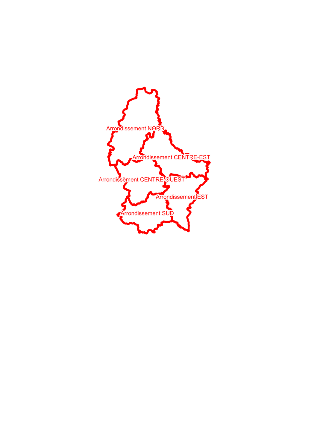
territory of first degree of the regional outposts of the nature administration conformable to the grand ducal regulation of 11th june 2009 concerning the number and composition of the outposts of the nature administration.
-
Protected zones of national interest (nature reserves and forest reserves) according to amended law of 19th January 2004 concerning the conservation of nature and the naturally resources. Each area and reserve is burdened with obligations defined by grand ducal regulation.
-
territory of second degree of the regional outposts of the nature administration conformable to the grand ducal regulation of 14th december 2009 june 2009 concerning the number and composition of the forest districts of the nature administration.
-
Zones proposed by the 2nd National Nature Protection Plan (PNPN2) from 2017 in view of the designation as protected areas of national interest, that are currently undergoing the official designation procedure (are approved by the government council). These zones do not yet have legal protection status and as such are not subject to special constraints. The delimitations are not definite and can be adapted during the designation procedure.
-
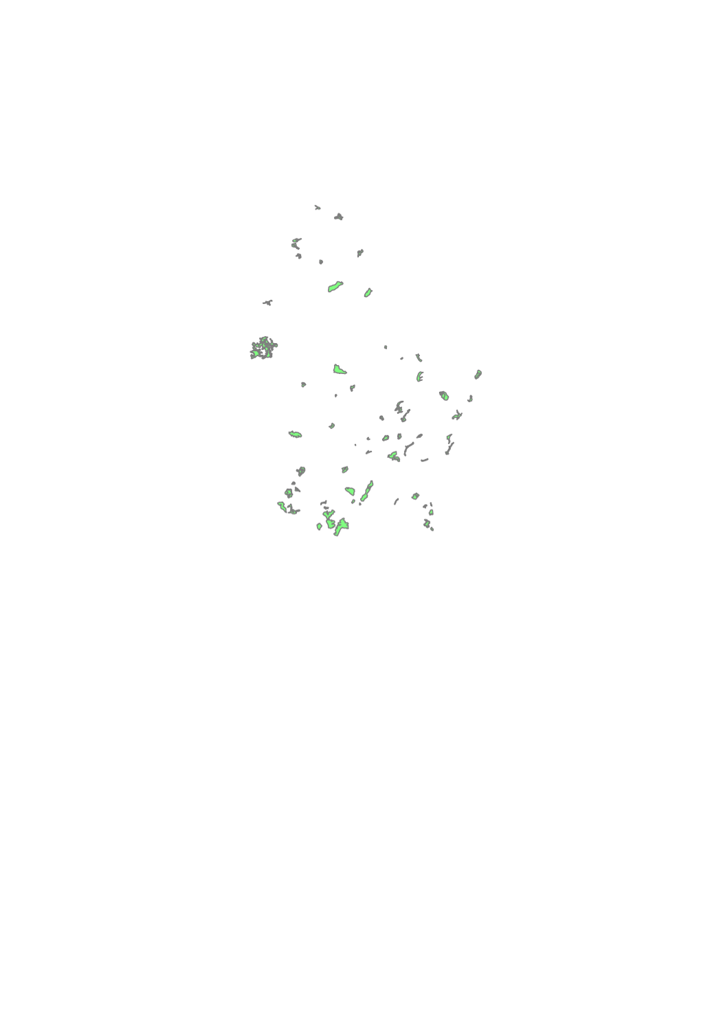
The biotope cadaster of the open landscapes is a cartography of rare and threatened habitats of the rural area in open landscapes, which are protected by article 17 of the law of 18 July 2018 concerning the protection of nature and natural resources. This inventory aims to determine and locate rare and threatened habitats and biotopes whose identification in the field is difficult or ambiguous. Clearly identifiable biotopes such as hedgerows, scrubs and groves, as well as rivers were not mapped as part of this inventory, but are still subject to the strict protection regime under article 17 of the above mentioned nature protection law. The measures of reduction, destruction or deterioration, which are prohibited, are specified in the Grand-Ducal Regulation of August 1st, 2018 establishing protected biotopes, habitats of community interest and habitats of species of community interest for which the conservation status was assessed as unfavorable.